Visualize field data and improve crop yields.
The top challenge for today’s farmer is to feed a world of people with finite land and resources. To prepare for this challenge, today’s farmer needs to leverage real-time collaboration technology and historical data analysis to optimize yield and maximize throughput.
Analyze Crop Trends by Area
Upload shapefiles with historical data directly onto your map. By visualizing your crop data, you will be able to gain meta-level insights about what’s working (and not working) on your farm.
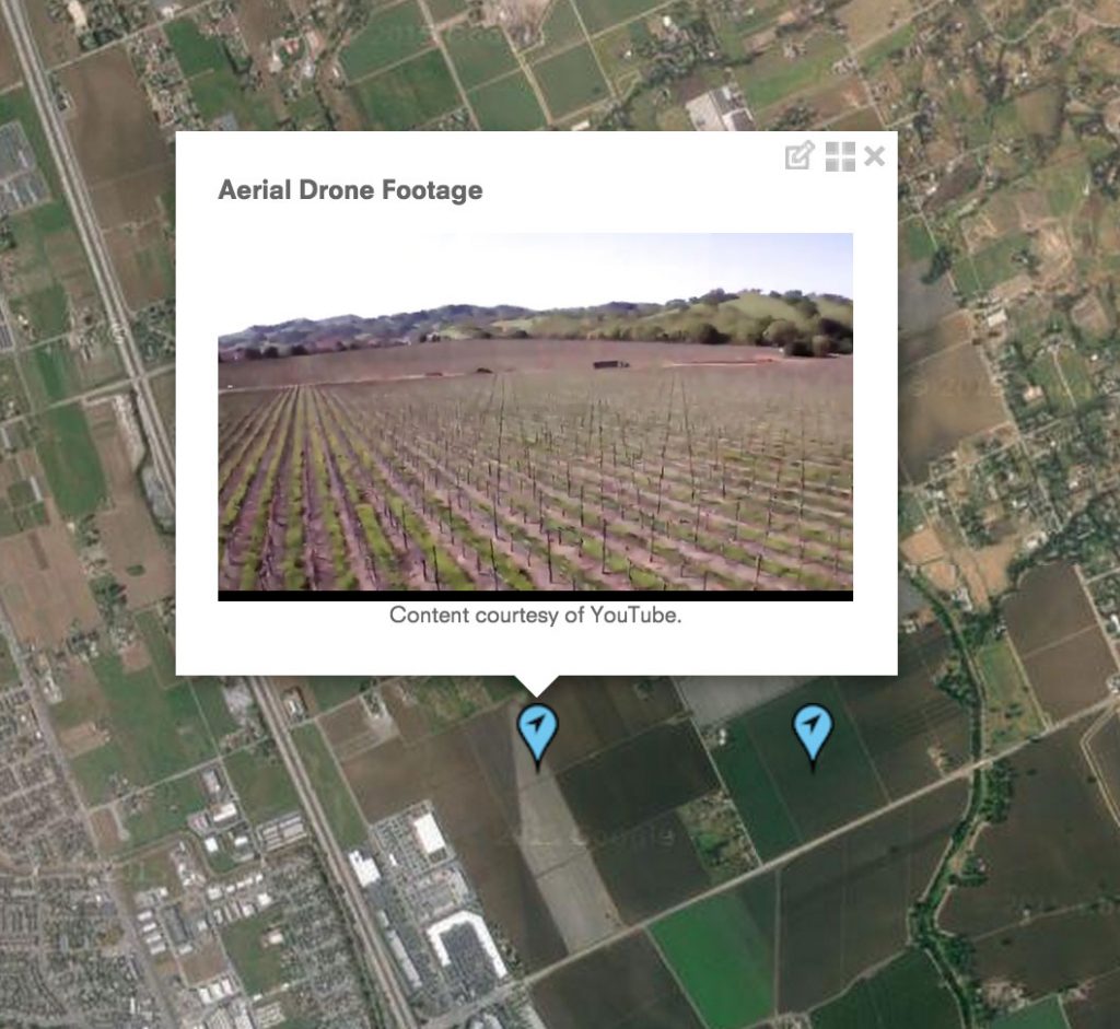


Real-time data collection and collaboration
Get real-time insights about problematic areas from field workers. Streamline your data collection activities and identify problems early-on.
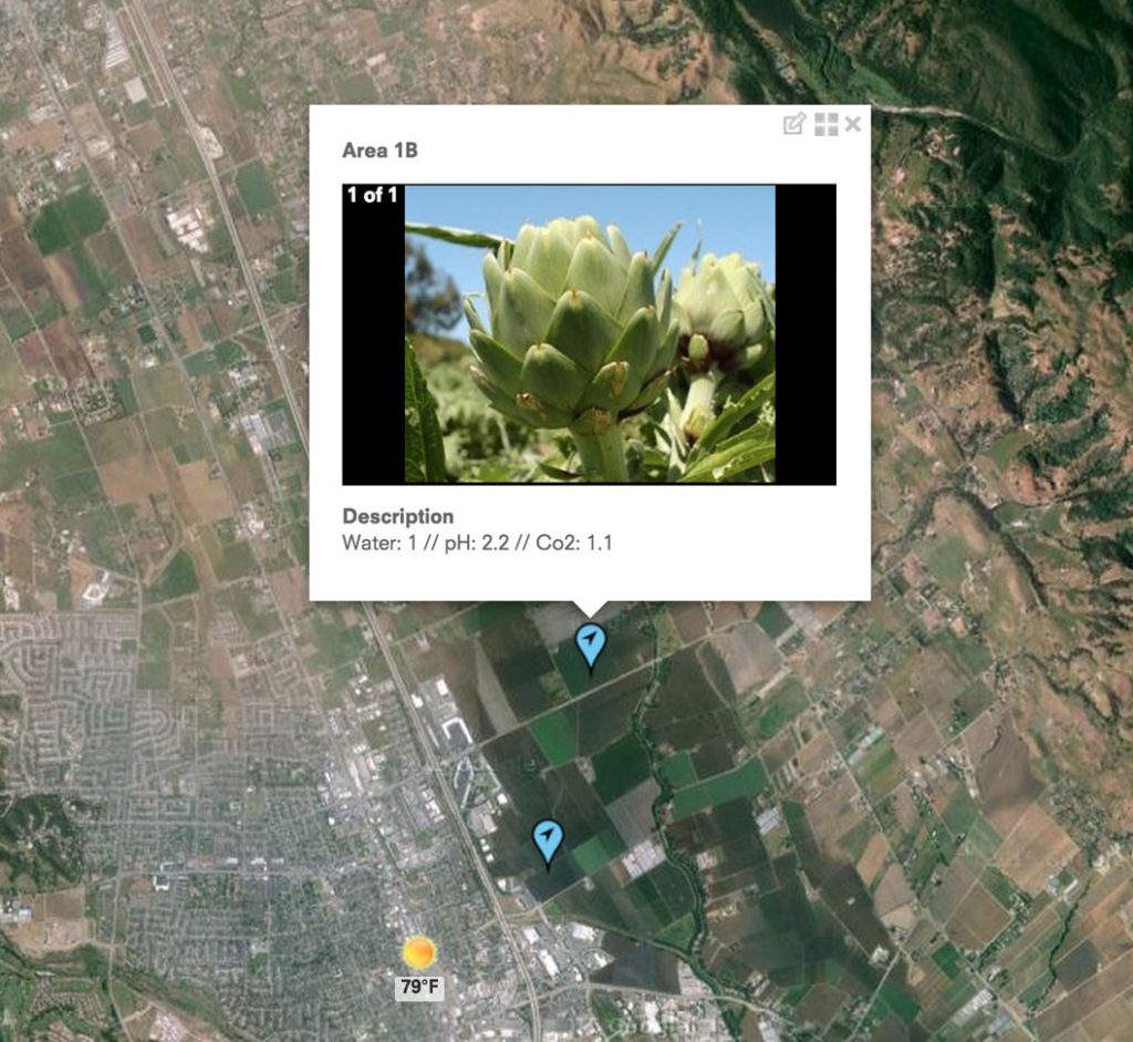
Visualize smart sensor data
If you are leveraging smart sensors, you can connect directly to your SQL Database display real-time sensor data directly into your map.